Two weeks seems like a lifetime ago,
especially these days, but it’s only been two weeks since we did the
first of the three hikes I’ll cover in this post. ZION remains open on a
limited basis, and our focus has still been to seek out the
lesser-traveled areas and trails. Our premier hike of this series was
our longest of the year so far.
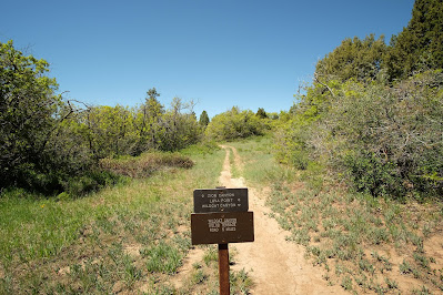
Cable and Deer Trap Mountains
The only way to be able to get in any sort
of mileage without shriveling up in the June heat of southern Utah is
to start early at a higher elevation. Normally, both of these destinations
are accessible from the main canyon but currently are not due to a
massive rock slide last year. That’s not a route we would have probably
done for either of these since it involves much more climbing and
mileage. That way would also make doing both in a single day hike
prohibitive, but the Stave Spring Trailhead solved that problem.
 |
| Staving off the chill. |
The trailhead access for this hike was on an extremely rough dirt road,
and not having a high-clearance vehicle meant we had to park just shy of
the small dirt lot, backed up a steep incline. We hoped the parking
brake and TBG’s improvised rock chocks would do the job of keeping Hond
immobile. As we donned whatever extra clothing we had with us because
it was 38° and laced up our boots, we heard the gobble of a tom turkey
from somewhere in the ponderosa forest, advising us to get a move-on or
freeze.
 |
| Getting my move on. |
Once the trail left the forest, the sun warmed things up quickly. Deep
violet-blue larkspur bloomed profusely and several pretty birds
serenaded us along the way.
 |
| Rufous-sided (Spotted)Towhee and Black-headed Grosbeak |
The hike from the Stave trailhead is not about the views along the way,
though. It’s about reaching the canyon rim and the mountain’s namesake.
 |
| Peering into Zion’s main canyon. |
The stripped-down and reinforced partial skeleton of an old cable works remains at the terminus of this trail.
 |
| It’s useful now as a tripod unless your face is in the shadow. Doh! |
After taking in the view, we made our way back to the trail junction to
continue out to Deer Trap (or Deertrap, sources vary) Mountain. The
temperature had increased 20 degrees, and a sunny, dry 58° felt plenty
warm.
 |
| It’s a trap! |
Again, much of the trail out to the rim was not impressive, but it was
filled with a ridiculous number of our little hiking mascots. We saw at
least seven of them!
As we neared the rim, the trail dropped down one short switchy-backy rolly-rocky section, but then…
 |
| Kapow! |
 |
| Whammo! |
At eight miles into the hike and with views like this, it was the
perfect place to have lunch. A couple friendly lizards joined us,
chasing one another and slurping up ants for their lunch.
 |
| No ants for us, thank you. |
It was hard to leave our breathtaking vantage point, especially knowing
the way back would be relatively visually unappealing. It was a tad,
with the exception of a few of those baby prickle frogs and a colorful
pair of Western Tanagers enjoying a dip and a sip.
 |
| Pool party! |
Hop Valley
 |
| Hop to it! |
We noticed this trailhead on the way to/from some of our other hikes and
stopped on the way past one day to see what it was all about. Once
home, we also looked it up on our now-constant reference that I linked
last time Joe’s Guide.
 |
| Broad field filled with sage and white lupine. |
The views along the first half of the mostly level but extremely sandy
trail were distant. Elevation was the savior here, otherwise slogging
through the sand would’ve been miserable in the full sun. As it was, the
sand seemed worse on the way out than on the return, happily.
 |
| Free-range BG. |
Eventually, we reached a cattle gate, after which the trail was faint
across a private-land field, making us question the route and consult
GPS. Before long, the path descended a wide, rocky section to drop into
the valley which served as the trail.
 |
| Hop Valley looking into the Kolob formations. |
Unquestionably, the prettiest part of the hike was in the valley with
its large boulders, pockets of shade, and singing birds. The Hop Valley
Trail is just a portion of the trans-Zion hike, and taken out of context
the way we did it, doesn’t make for a very spectacular outing overall.
Because of that, though, we only saw four other people near the end of
our hike, so it was blissfully quiet.
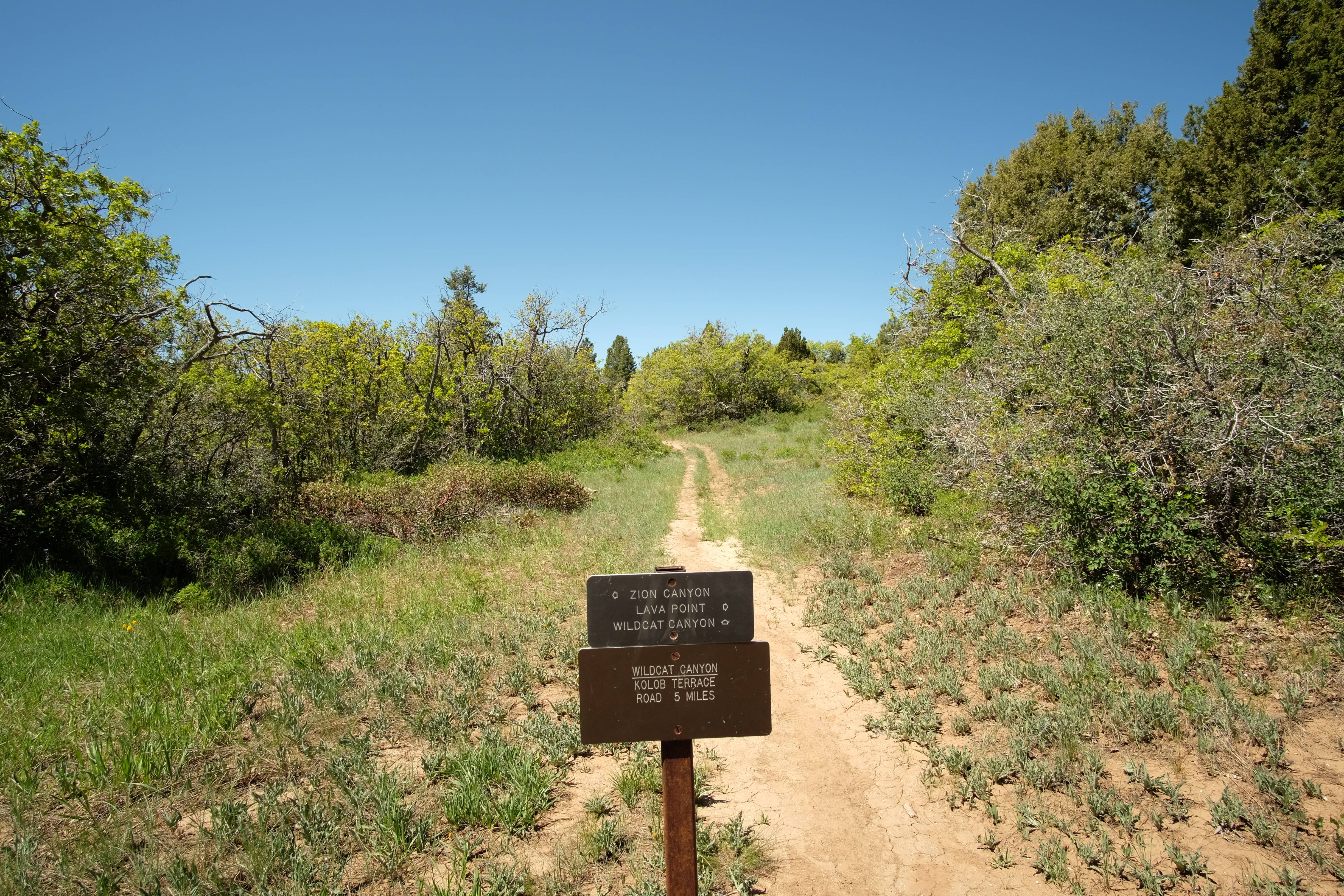
Wildcat Canyon
 |
| Armed with a new camera to shoot ’em and a stick to thwart ’em. |
This hike is also part of the trans-Zion hike, and it began at the same trailhead used for the Northgate Peaks hike we did. A mile up the trail, it is also possible to access the Hop Valley Trail.
 |
| Or the West Rim Trail, please note the posted mileage. There will be a quiz. |
 |
| A shady character. |
 |
| Tomfoolery. |
 |
| Views of the Great West Canyon emerging over the scrub oak. |
 |
| Crossing a lovely meadow. |
 |
| TBG found the one nettle plant in all of Zion here at this spring. |
 |
| Wildcat Canyon |
 |
| Crossing the “chasm.” |
 |
| Are you ready? It’s quiz time! |
Q: What was the mileage etched into the sign at the other end of this trail? No scrolling!
Hint: It was .1 miles less than is etched into this sign.
The Sign Etchers of America are just messing with us, right?
COMMENTS
 Shannon
 I’m becoming increasingly convinced
that we need to make another trip to Zion. It was far from our favorite
of the Mighty 5, but I think that’s because we missed a lot of the good
stuff. It’s great that you are finding plenty of out of the way spots to
explore even while avoiding crowds (and also conveniently avoiding
oppressive heat…. not that we think about that all the time or
anything).
TBG The pictures sure look better on a full screen.


Joe’s Guide has been such a nice help, and I agree that it’s weird there aren’t more for the other popular parks. We use AllTrails a lot, too, but mostly for trail reports. I am always surprised how many trails I find simply by zooming in on Google maps and searching for those dotted lines!
You put on some serious miles on those hikes! And that ‘kapow’ photo—wow. Only in Utah. Hey, I’ve been meaning to ask you what the ‘points’ mean on your hiking app. If it’s calories, I’m thinking I could eat a lot of cookies without suffering any consequences.
Sadly, I cannot award you a prickle frog at this time 😦 The correct answer to the quiz is 4.9.
The scenery in the “kapow” photo looked unreal in person, too. Sometimes, though it seems really weird I know, I like to look at the photos more than seeing it in person. Nothing can compare to the feeling of it in person, of course, but it’s almost too big to see properly, kwim? I guess we’re lucky to have both!
I’m also sorry to ruin your desire to eat an unlimited number of cookies to report that the points on the hiking app refer to the number of times it took a reading (points of reference) to calculate the data. 😀
38 degrees! Here we are baking in triple digits 🙂
Keep hiking for us!
We certainly think about settling down somewhere near here. TBG is constantly texting me Zillow listings 😂
The coolness and relief of elevation is a wonderful thing in the summer southwest. That and a pool — I’m certain we’ll need a pool if we ever move here! You should get one, too, eventually, and we’ll come for a pool party!